Boundary layer flows in a deep Alpine valley investigated with in situ and remote sensing measurements
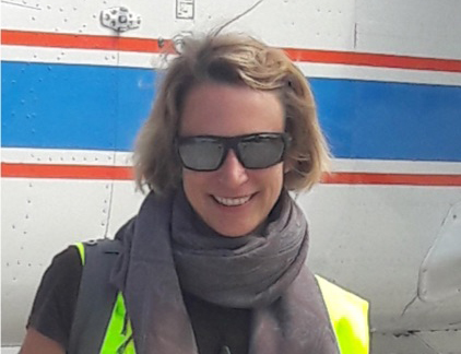
Bianca Adler
CIRES and NOAA Physical Sciences Laboratory
Tuesday, Jun 30, 2020, 2:00 pm
Webinar
GoToMeeting:Web: https://global.gotomeeting.com/join/343392437
Phone: https://global.gotomeeting.com/343392437/numbersdisplay.html
Access Code: 343-392-437
Abstract
The atmospheric boundary layer over mountainous terrain (MoBL) is highly variable in space and time. This is because the exchange of mass, momentum, moisture and energy is affected by processes spanning a large range of scales from millimeters to kilometers. Turbulent mixing as well as thermally and dynamically driven mesoscale flows substantially contribute to the earth-atmosphere exchange in the MoBL. in the atmospheric boundary layer over mountainous terrain (MoBL). The observational detection of the spatial variability and the decisive processes and structures requires comprehensive instrumentation and a sophisticated measurement strategy. We designed a field campaign which targets the three-dimensional flow structure and its impact on the MoBL in a major Alpine valley. Taking advantage of an existing network of surface flux towers and remote sensing instrumentation in the Inn Valley, Austria, we added a set of ground-based remote sensing instruments, consisting of Doppler lidars, a ceilometer, a Raman lidar and a microwave radiometer, and performed radio soundings and aircraft measurements. The objective of the CROSSINN (Cross-valley flow in the Inn Valley investigated by dual-Doppler lidar measurements) experiment is to determine the mean and turbulent characteristics of the flow in the MoBL under different synoptic conditions and to provide an intensive data set for the future validation of mesoscale and large-eddy simulations. A particular challenge is capturing the two-dimensional kinematic flow in a vertical plane across the whole valley using coplanar synchronized Doppler lidar scans, which allows the detection of cross-valley circulation cells. In the first part of my presentation, I will outline the scientific objectives, instrument setup and measurement strategy. In the second part, I will summarize the synoptic conditions during the whole measurement period of two and a half months and illustrate how the complementary in situ and remote sensing instruments can be used to obtain the most complete picture to date of the atmospheric conditions and processes in the Inn Valley.
Access Code: 343-392-437
Join via web
Join via phone
Seminar Contact: psl.seminars@noaa.gov