Recent Advances in River Observations and Modeling at Large Scales
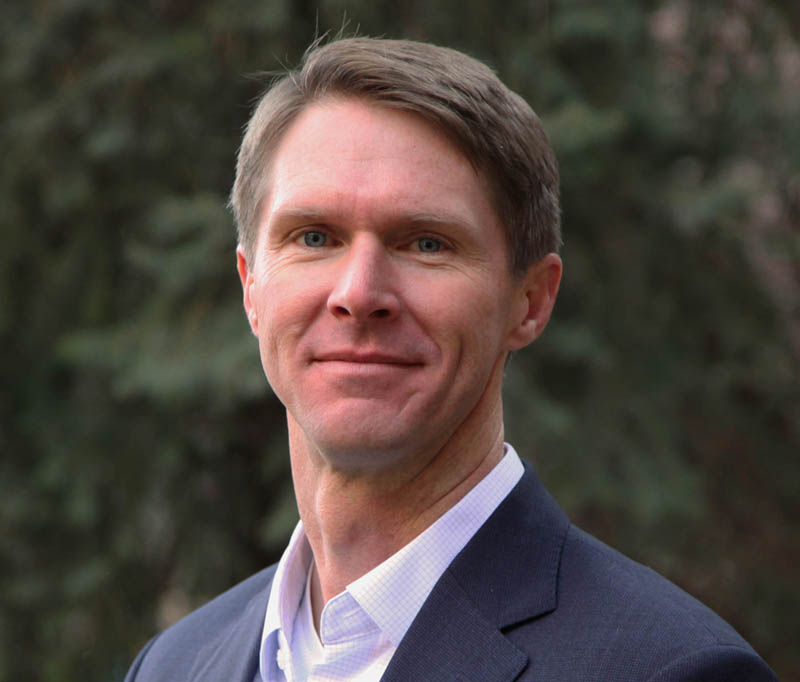
J. Toby Minear
ESOC / CIRES, University of Colorado, Boulder
Thursday, Feb 13, 2020, 11:00 am
DSRC Room 1D403
Abstract
Over the last ten years, advances in field- and remotely-sensed observations of river channels have led to new understandings of channel properties with implications for large scale hydrologic modeling. NASA has several next generation high-resolution satellite missions to study the hydrologic cycle that are launched or soon to be launched, yet these missions remain relatively unknown to most users of water data. Several of these missions were conceived in part to measure different aspects of the global water cycle: Surface Water and Ocean Topography (SWOT) Mission to measure water surface elevations and extents, NASA ISRO Synthetic Aperture Radar (NISAR) Mission to study wetland and floodplain inundation, and ICESat-2 Mission to measure surface elevation and shallow bathymetry. In addition, the unique field datasets being collected to calibrate and validate these missions are themselves leading to the development of new understandings of river channel properties and hydrologic modeling, such as for the NOAA National Water Model. In this talk, Dr. Minear will discuss these recent advances, including the upcoming NASA surface water missions, their utility for operational applications, and related implications for hydrologic modeling.
------------------------------------------------------------------------------------------
ABOUT THE SPEAKER: Dr. Minear completed his undergraduate degree at Colorado College and later received Masters and PhD degrees from the University of California, Berkeley. Before joining CIRES at CU Boulder, Dr. Minear worked as a Research Hydrologist at the United States Geological Survey at the California Water Science Center and the National Research Program. Dr. Minear’s research interests include near- and far-field remote sensing of water, hydrodynamic modeling, and fluvial geomorphology. Dr. Minear is a Science Team and Cal/Val Team member for the upcoming NASA Surface Water and Ocean Topography (SWOT) Mission, and serves on the U.S. Subcommittee on Sedimentation as well as the National Reservoir Sedimentation and Sustainability Team.
You must provide an accepted form of identification at the Visitor Center to obtain a vistor badge. Security personnel also inspect vehicles prior to entrance of the site. Please allow extra time for these procedures.
After receiving a badge, you must arrive at the DSRC Lobby at least 5 minutes before the seminar starts to meet your security escort. If you arrive after that time, you will not be allowed entry.
Foreign Nationals: Please email the seminar contact at least 48 hours prior to the seminar to provide additional information required for security purposes.
Seminar Contact: tom.statz@noaa.gov